JBER Wetland Management
 Wetland and Floodplain Management
Joint Base Elmendorf-Richardson
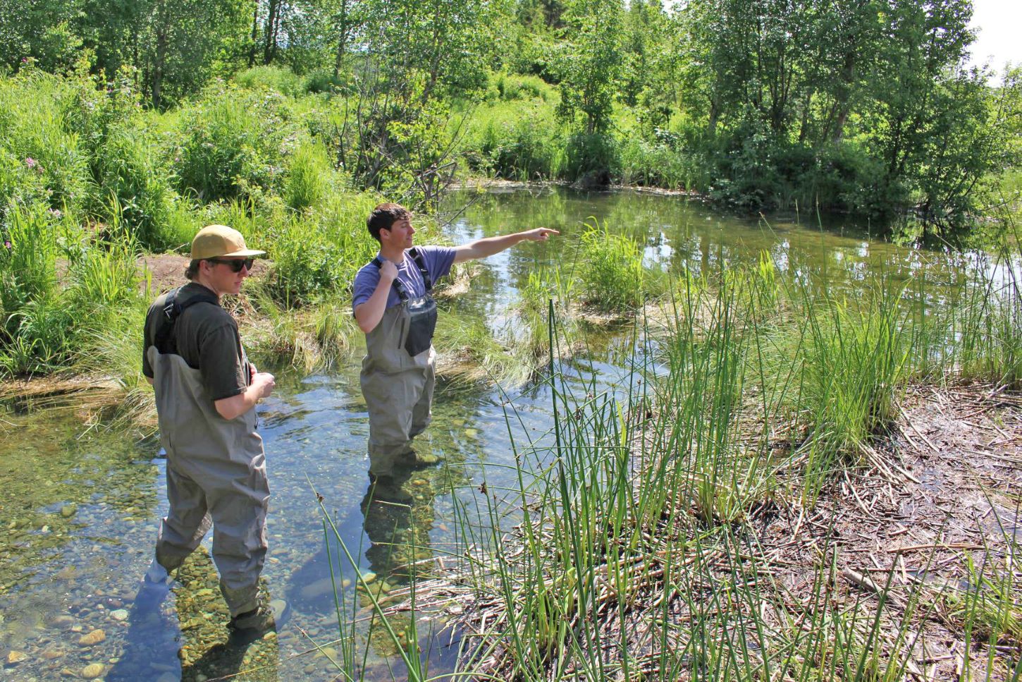
AERC researchers are tasked with surveying the wetlands on Joint Base Elmendorf-Richardson, just a few miles from UAA. The project pinpoints possible wetlands using aerial maps, then sends AERC research technicians to confirm the conditions on the ground.
Specifically, AERC researchers are working in collaboration with the U.S. Army Corps of Engineers to survey priority wetlands. Research technicians inventory the plant communities at predetermined transects – including the presence and density of saplings, shrubs, herbs, and trees – as well as take soil samples and record hydrologic processes. Technicians combine the data back on campus to establish the types and locations of JBER’s wetland habitat. Those datasets provide a valuable tool to guide management decisions on the military base and maintain wetland functions during mission activities.


