


Studying statewide coastal erosion from the edge of Anchorage
by joey |

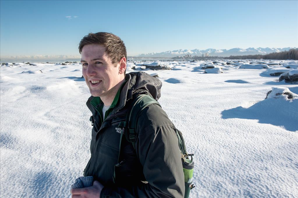
Civil engineering graduate student Euan-Angus Macleod collects data in view of downtown that will play into erosion forecasting statewide. (Photo by James Evans / University of Alaska Anchorage)
It's spring in Alaska, when UAA students swap out bike tires, dig out fishing nets, and - for one student in particular - wrap up a winter's worth of climate research at Earthquake Park.
Since October, civil engineering graduate student Euan-Angus MacLeod has been recording ground temperature on the coast just a few miles from campus. Though the research site sits within view of downtown Anchorage, the local data will help predict the speed of coastal erosion statewide.
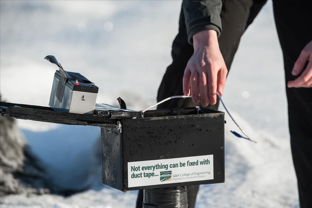
MacLeod's data collection system. (Photo by James Evans / University of Alaska Anchorage)
As sunshine and warmth return in the North, the climate community braces for more record-setting temperatures. The warming climate has triggered various reactions across Alaska, but few are more alarming than coastal erosion.
Permafrost in the North - typically composed of 60-80 percent ice - is becoming less stable. The change is most drastically evidenced along Alaska's north coastline, where pounding waves undermine huge chunks of soil and where bluffs liquefy and wash away into the sunset.
https://youtu.be/LaB3nKxPjiU?t=19s
"One of the important causes of the accelerating coastal erosion in the Arctic is the increasing thaw rate of the coastal permafrost," explained Tom Ravens, a professor of civil engineering and advisor for MacLeod's project.
"For much of the year, the soils and sediments along the coast are frozen in place and essentially unable to be eroded by mechanical action," he explained. But as temperatures warm, permafrost thaws and erosion quickens. "That's a big concern for communities and government agencies who have assets along the coast."
Climate effects on the coast have galvanized scientists and federal agencies alike. Some homes have already crumbled into the ocean in Shishmaref. Wildlife agencies worry as encroaching seawater threatens freshwater plants and migratory habitats.
Ravens has already developed a model to predict storm-surge flooding on the Yukon-Kuskokwim Delta, where 50 villages sit about six feet above sea level. Now, he's working to build a similar system - factoring in items like climate records, soil samples and ocean energy - to address coastal erosion.
Euan on the coast at Earthquake Park (Photo by James Evans / University of Alaska Anchorage)
Data from Earthquake Park will support that larger project. "To make sure we're getting the physics right within the model, we need to validate that with field measurements," MacLeod said. "These types of models really go a long way to help communities and other infrastructure-holders, like the military or oilfields, to understand how they could be impacted in the next 10, 50, 100 years."
Ravens and MacLeod chose Earthquake Park as a research site for several reasons. The section of coast has a similar soil profile to the Western and Northern coasts - shallow depth and fine-grain. Likewise, perched along Knik Arm, the site is influenced by some of the tallest tides in the world, providing for rapid ice growth and frequent coastal influence.
MacLeod designed a simple system that would record ground temperature at three depths: the surface, 50 centimeters and 100 centimeters.
"It's really a kind of quirky setup. It's essentially an ammo box welded to a steel pole," he noted of his homemade technology. A data logger inside the ammo box records ground temperature every hour.
He installed the system October 10, when the air grew frosty but the ground hadn't frozen. He visited the site to change batteries and download data throughout the winter, watching as snow piled up and ice floes beached along the coast (he even had to dig out a few ice blocks that threatened to topple the monitoring system). In October, the ammo box stood roughly four feet over the surface; by late winter, only a few inches were visible above the snowpack.
The greatest variation in soil temperature occurred closest to the surface and earliest in the season, as expected. As the ice thickened, it insulated the ground temperature monitor, which became less responsive to air temperature throughout the winter. The monitors at 50cm and 100cm likewise dipped through the winter, but the variation was much less significant.
Though nothing about the data was surprising, the record is still a valuable piece of a much larger puzzle. Information from Earthquake Park will refine the larger coastal erosion model for the state. Agencies can then anticipate when coastal erosion might catch up to their coastal assets, or how many storm surges Newtok residents can expect to sustain before needing to evacuate more homes.
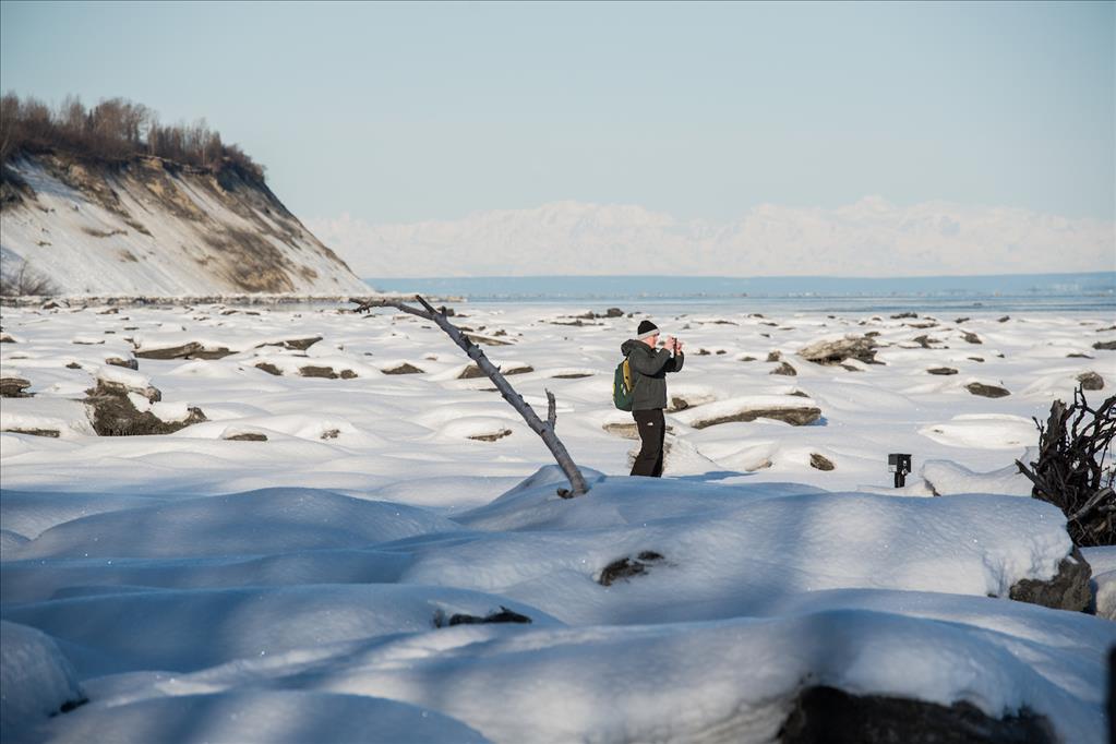
MacLeod photographs his research site, with an eroding hillside at Point Woronzoff in the background. (Photo by James Evans / University of Alaska Anchorage)
For MacLeod, who already holds a civil engineering master's from University of Glasgow in Scotland, the research has been particularly enlightening.
"All of my training before has been in applying fairly simple physics, without really having to think about the thermal component," he said. In most places, coastal erosion is simply mechanical - the waves hit the shore and take the beach away. But in the Arctic, where the coast is largely built of ice, temperature plays a significant role.
Few existing erosion models are designed with the Arctic in mind. "In the Arctic you have that real problem with heat as an erosion factor as well," he explained. "Adding that thermal component really complicates how you approach problems ... It's something I wouldn't get to do anywhere else."
When the mud thaws at Earthquake Park, MacLeod will retrieve the data logger and remove the monitors for the season. A future graduate student may take the project on next winter. MacLeod, though, is busy completing his thesis on environmental parameters that drive coastal erosion. He plans to graduate later this year, enough time to analyze the winter that passed without missing out on the summer ahead.
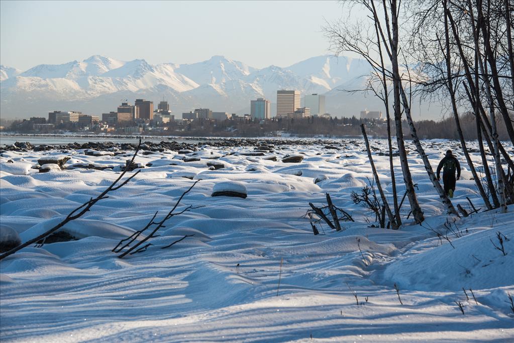
MacLeod hikes out of Earthquake Park. (Photo by James Evans / University of Alaska Anchorage)
Written by J. Besl, UAA Office of University Advancement
 "Studying statewide coastal erosion from the edge of Anchorage" is licensed under a Creative Commons Attribution-NonCommercial 4.0 International License.


